



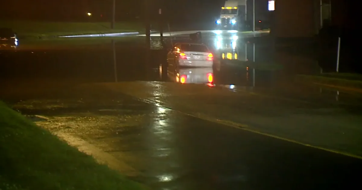
CINCINNATI, OH — Flash flood warnings remained in effect early Thursday for several Tri-State counties after powerful storms and possible tornadoes moved through the region overnight. At the same time, all tornado watches and warnings had expired, easing the severe wind threat but leaving water hazards in place. The National Weather Service said a radar-confirmed tornado was located near Rising Sun, Indiana, at about 12:24 a.m. Thursday. Officials urged drivers to avoid flooded roads and remember: turn around, don’t drown.
Counties Still Under Warning
The flash flood warning covered Brown and Clermont counties in Ohio through 8:30 a.m. Thursday. In Indiana, Dearborn and Ripley counties remained under warning until 7:15 a.m. The warnings came after a string of tornado warnings flashed across parts of Ohio, Kentucky and Indiana during the early morning hours. Those tornado warnings have now expired, but the weather service said flooding concerns continue in several areas as heavy rain runoff keeps roads and low-lying spots unsafe.
Storm Threat Rose Wednesday
The Storm Prediction Center increased the severe weather risk for parts of the Tri-State on Wednesday ahead of the overnight storms. Much of southeast Indiana was placed in an enhanced risk area, while the rest of the region was under a slight risk for severe weather. That setup helped fuel the active weather system that passed through before dawn Thursday. Even as the tornado threat diminished, emergency messaging stayed focused on standing water, flooded crossings and the danger to motorists.
Rain Moves Out By Sunrise
Forecast conditions improve through the day as rain exits before sunrise Thursday. Skies are expected to turn partly cloudy, then mostly sunny, with temperatures climbing back into the low 80s and a breezy west wind around 15 mph. Thursday night should be clear and mild with a low near 59. Friday is expected to be the better weather day, starting near 59 and warming to about 78 under mostly sunny skies. No additional severe weather is mentioned in the short-term outlook.
Travel And Safety Updates
WCPO continued to direct viewers to live radar and severe weather email alerts as conditions changed. The station also pointed residents to school closings and delays, traffic updates, Metro bus detours, and Duke Energy outage information. Flight cancellations and delays at CVG and other U.S. airports were also listed as resources for travelers dealing with weather disruptions. For anyone on the road, the main advice stayed the same: do not drive into flooded water, even when the roadway appears passable.
CLS Gator Prints keeps Illinois and the Heartland in the know.